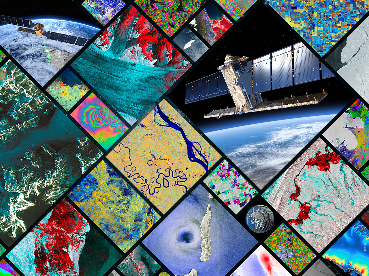
Remote Sensing Laboratory
The Remote Sensing Laboratory is a set of facilities supporting research related to a broad range of systems for both the space and the ground segments
The Remote Sensing Laboratory evaluates and tests designs for radio-based remote sensing systems such as synthetic aperture radar (SAR), radar altimeters and radiometers. It also performs R&D related to telecommunications and navigation systems and applications, including both the ground and space segments. This lab offers a collection of software tools for the analysis and simulation of various kinds of passive and active remote sensing instruments.
Possible activities cover the Design optimisation, evaluation, simulation and trade-off of active and passive RF Earth Observation sensors (i.e. advanced SAR, Radar Altimeters, Microwave Radiometers, Radars for Ocean Currents and Winds, GNSS-R instruments, GnSS, Radio Occultation).
The Remote Sensing Lab also supports testing activities of SAR/Radar related hardware, i.e. T/R modules, antenna panels and subpanels, central electronics and others.
Evaluating and testing designs for radio-based remote sensing systems &
performing R&D related to telecommunications systems and applications
Tx/Rx Multi-Channel RF system
This powerful Tx/Rx multi-channel system can emulate a Digital Processor or multiple RF chains of an active antenna, an arbitrary waveform Generator or a TX/RX Digital Beam former. It can be also used for efficient testing and characterisation of active antennas / phased arrays. Since it can host a SW development environment, prototyping of Digital Signal Processing functions (i.e. digital filtering, digital up/down conversion, pulse compression, etc…) can be performed directly on the programmable boards.
The TX/RX multi-channel system is based on a distributed HW platform. The design consists of one chassis hosting multiple programmable RF boards.
The system is composed of several separate TX/RX channels, fully synchronized, in order to simulate, for example, a phased array system in both TX/RX sides. Each board, being based on FPGAs and ADCs/DACs, generate analog inputs/outputs and can be used for antenna testing (or any other RF testing) and for performance verification of digital functions.
The system already hosts an application SW in LabView and I/F command/control code in Matlab.
Wavemill
Wavemill End-to-End Simulator – WE2ES for interferometric radar altimeters.
It combines a state-of-the-art ocean model, ocean scattering module and radar instrument characteristics for performance assessment and design of wide-swath ocean altimeters and ocean current retrieval by along-track interferometry:
- Simulates complete Wavemill-type instrument;
- Includes geometry, sea state, sea scattering, propagation, instrument configuration, raw data generation, SAR processing, interferometric processing and surface current retrieval;
- Used to support OSCM, OSCAR missions.
GNSS-R & OceanPal
GNSS-R simulator and OceanPal instrument for examining the end-to-end performance of GNSS reflectometry techniques, including PARIS.
A tool for examining the end-to-end performance of GNSS reflectometry techniques, including PARIS and typical GNSS-R missions.
StarGym
StarGym is a state-of-the-art advanced simulator of GNSS-R spaceborne instruments. It allows to simulate realistically a complete end-to-end observation GNSS-R chain, including realistic modelling of the instrument and signal processing functions. It includes a performance assessment module able to extract main performance parameters.
Instruments & technical parameters:
- End-to-end GNSS reflectometry simulator
- Includes sea-surface generator, atmospheric and ionospheric propagation, instrument characteristics, delay-Doppler map processor
- Outputs SSH, MSS
Operates in different modes:
- Waveform
- Bitstream
- Interferometric
Synthetic Aperture Interferometric Radiometer Performance Simulator – SAIRPS
The SAIRPS is an advanced stat-of-the-art simulator of synthetic aperture interformatric radiometers for earth observation and scientific missions. It allows to assess new instrument architectures and the end-to-end performance of next generation instruments such as SMOS mission and similar. The simulator allows to simulate observations from different orbits (e.g. LEO, GEO).
Instruments & technical parameters:
- Estimates performance of SMOS-like radiometers
- Covers different modes of operation
- Snapshot
- Monte-Carlo
- Time EvolutionLinux based
Performance Estimation for Ultra-wide-band SAR Over Rocky Terrains
- Simulates the operation of a stepped-frequency radar over rocky terrains
- Includes dry rocky-terrain scattering models and SAR processing
- Developed by IPAG to support the Asteroid Impact Mission HFR instrument
- Potential for use to simulate UWB-SAR over terrestrial (rocky) deserts
- Additional software including OASIS, and Multi-channel Ka-band SARs for GMTI Performance Model.
Services
Testing
- Performance evaluation
- Characterisation
- Performance characterisation (e.g. signal quality analysis, transfer function, RF measurements) of RF equipment, digital signal processing equipment
Measurements
- RF characterisation
- Active antennas testing, and/or emulation of active antennas based on digital signal processing (e.g. DBFN, etc..)
- Ground based instrumentation allowing to characterise the atmosphere (microwave radiometers, disdrometer, rain gauges, photometers, scintillometers, GNSS receivers)
Technical experitse
- Technical assessment of propagation and interaction models and of retrieval and inversion algorithms
Analysis
- End-to-end performance analysis and advanced simulations of earth observation instruments (SAR radars, radar altimeters, ground penetrating radars, scatterometers, microwave radiometers, and others), satellite communication payloads and navigation payloads
- End-to-end mission performance for microwave and optical remote sensing instruments. Impact of environment (atmosphere, ionosphere, multipath) on navigation signals. Impact of atmosphere on telecom signals. Associated performance. Retrieval and inversion algorithms for remote sensing
Simulation
- Modelling
- Virtual Simulation
- RF Simulations
- End-to-end performance analysis and advanced simulations of earth observation instruments (SAR radars, radar altimeters, ground penetrating radars, scatterometers, microwave radiometers, and others), satellite communication payloads and navigation payloads
- Models simulating the interaction of electromagnetic waves (microwave and optical) with natural environment (atmosphere, land, sea). Microwave propagation models through Earth and planetary atmospheres. End-to-end mission performance simulators
WE CAN HELP YOU GET THE BEST OUT OF OUR LABORATORIES
FOR FURTHER INFORMATION REGARDING THE ACCESS TO THE LABORATORY
Contact us via Email
